From Lonely Planet: The world's number one travel guide publisher*
Durable and waterproof, with a handy slipcase and an easy-fold format, Lonely Planet's Africa Planning Map helps you explore with ease.
Get more from your map and your trip with images and information about top attractions, itinerary suggestions and themed lists. With this easy-to-use, full-colour map in your back pocket, you can truly get to the heart of Africa - so begin your journey now!
- Easy-fold format
- Handy slipcase
- Full colour and easy to use
- Beautiful imagery
- Tailored itineraries
- Can't-miss highlights
- Detailed town index
- Themed lists
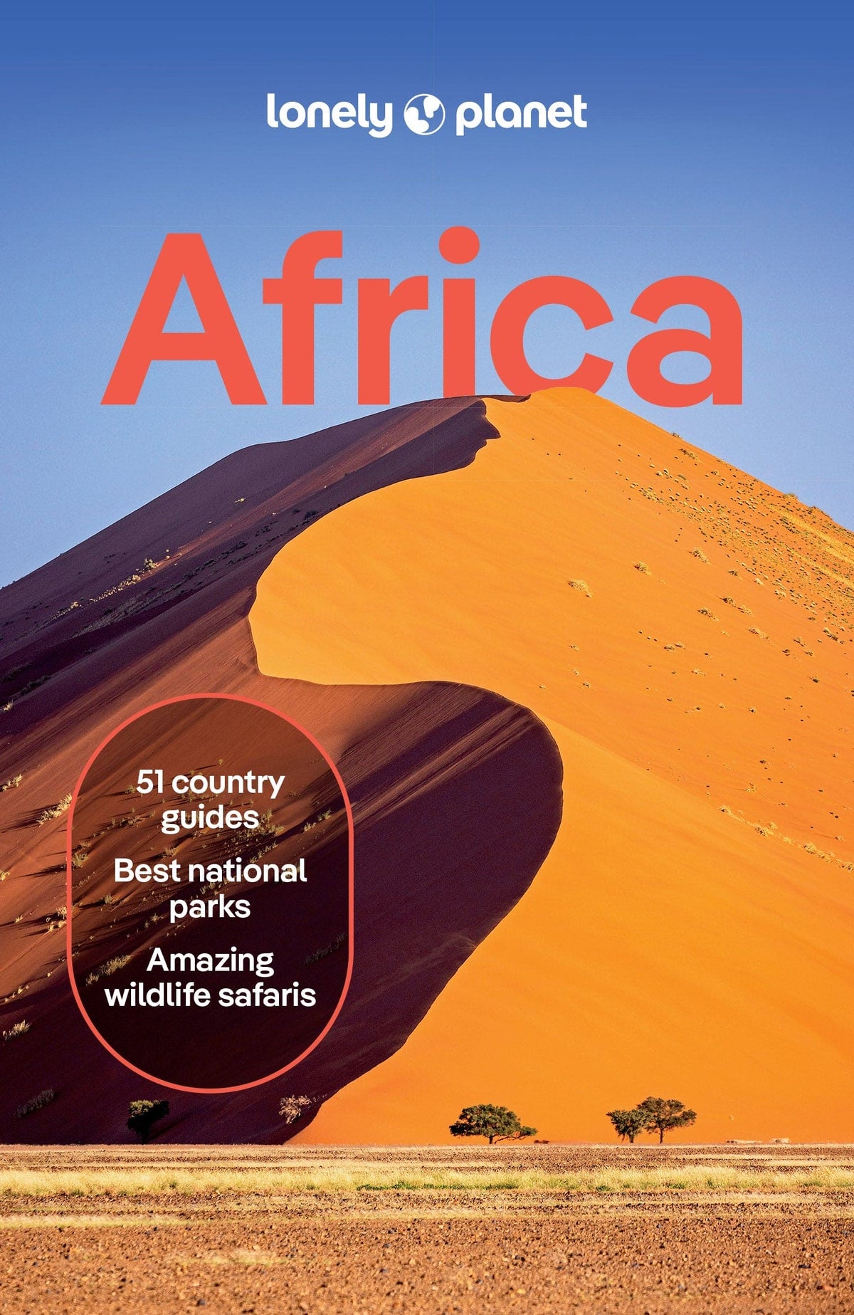
Covers Algeria, Angola, Benin, Botswana, Burkina Faso, Burundi, Cameroon, Cape Verde, Central African Republic, Chad, Comoros, Congo, Cote d'Ivoire, Democratic Republic of Congo, Djibouti, eSwatini (Swaziland), Egypt, Equatorial Guinea, Eritrea, Ethiopia, Gabon, The Gambia, Ghana, Guinea, Guinea-Bissau, Kenya, Lesotho, Liberia, Libya, Madagascar, Malawi, Mali, Mauritania, Mauritius, Morocco, Mozambique, Namibia, Niger, Nigeria, Rwanda, Senegal, Seychelles, Sierra Leone, Somalia, Somaliland, South Africa, South Sudan, Sudan, São Tomé and Príncipe, Tanzania, Togo, Tunisia, Uganda, Zambia, Zimbabwe
Looking for more extensive coverage? Check out Lonely Planet's Africa guidebook, our most comprehensive guidebook to the continent, covering the top sights and most authentic offbeat experiences.
About Lonely Planet: Lonely Planet is a leading travel media company and the world's number one travel guidebook brand, providing both inspiring and trustworthy information for every kind of traveller since 1973. Over the past four decades, we've printed over 145 million guidebooks and grown a dedicated, passionate global community of travellers. You'll also find our content online, and in mobile apps, video, 14 languages, nine international magazines, armchair and lifestyle books, ebooks, and more.
'Lonely Planet guides are, quite simply, like no other.' - New York Times
'Lonely Planet. It's on everyone's bookshelves, it's in every traveller's hands. It's on mobile phones. It's on the Internet. It's everywhere, and it's telling entire generations of people how to travel the world.' - Fairfax Media (Australia)
*Source: Nielsen BookScan: Australia, UK, USA, 5/2016-4/2017
 Skip to content