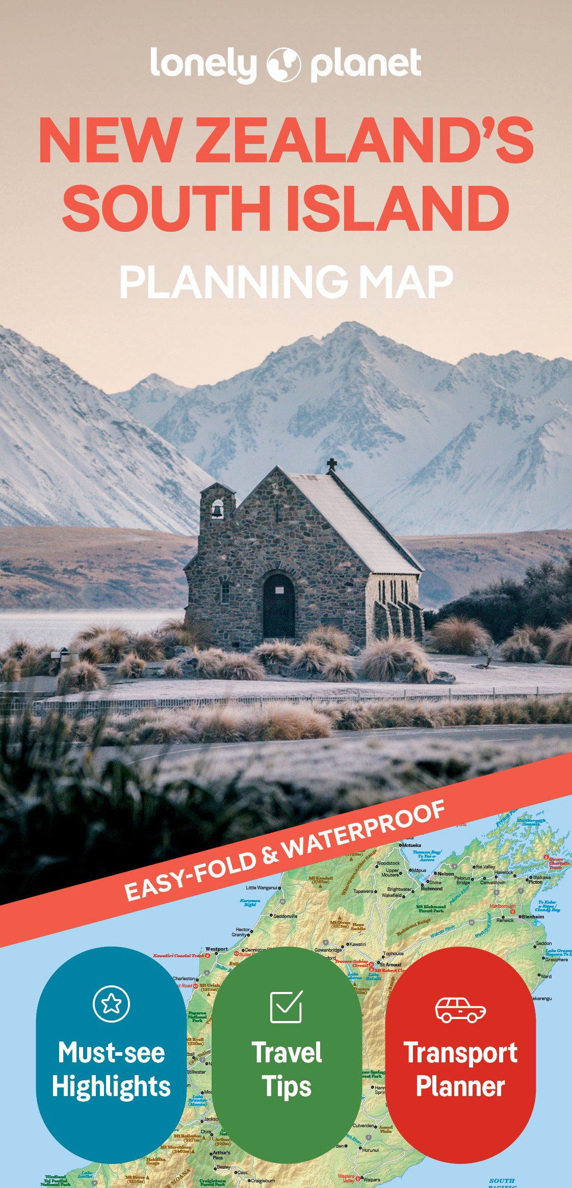
New Zealand's South Island Planning Map
Durable and waterproof, with a handy slipcase and an easy-fold format, Lonely Planet’s New Zealand’s South Island Planning Map helps you explore with ease.
Get more from your map and your trip with images and information about top attractions, itinerary suggestions, a transport guide, planning information, themed lists and practical travel tips.
With this easy-to-use, full-colour map in your back pocket, you can truly get to the heart of New Zealand’s South Island – so begin your journey now!
Inside Lonely Planet New Zealand’s South Island Road Trips:
- Lavish colour and gorgeous photography throughout
- Itineraries and planning advice to pick the right tailored routes for your needs and interests
- Get around easily - easy-to-read, full-colour route maps, detailed directions
- Insider tips to get around like a local, avoid trouble spots and be safe on the road - local driving rules, parking, toll roads
- Essential info at your fingertips - hours of operation, phone numbers, websites, prices
- Honest reviews for all budgets - eating, sleeping, sight-seeing, hidden gems that most guidebooks miss
- Useful features - including Detours, Walking Tours and Link Your Trip
Covers: New Zealand’s South Island
ISBN: 9781788685993
Edition: 1st
Publication Date: December 2019
Writers: Lonely Planet
2 pages, 2pp color, 1 maps | Dimensions: 95mm × 197mm
Next edition due: September 2025

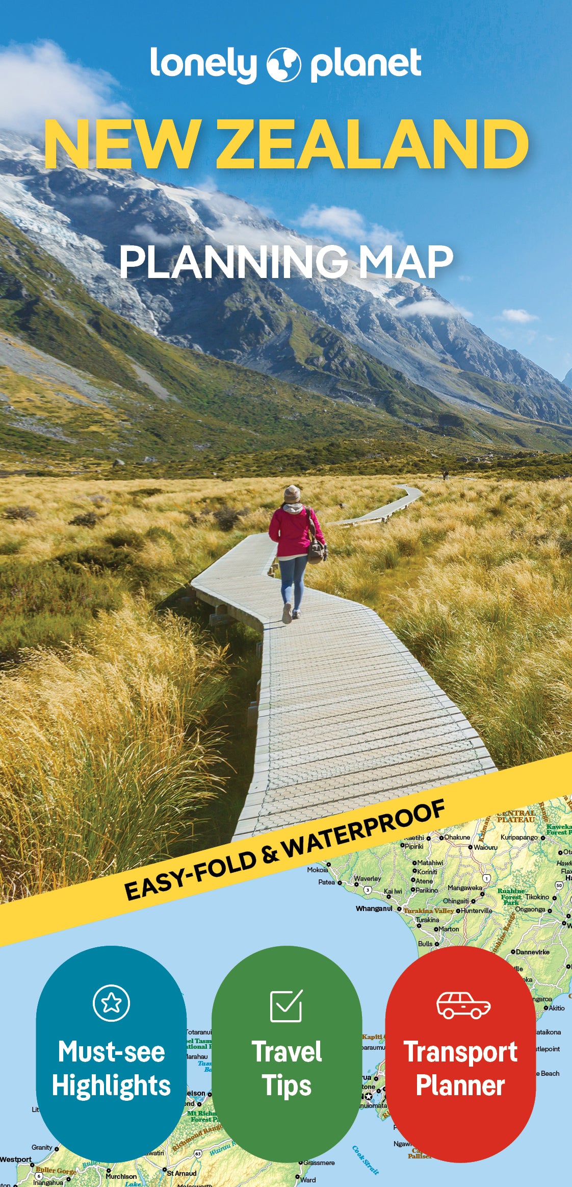
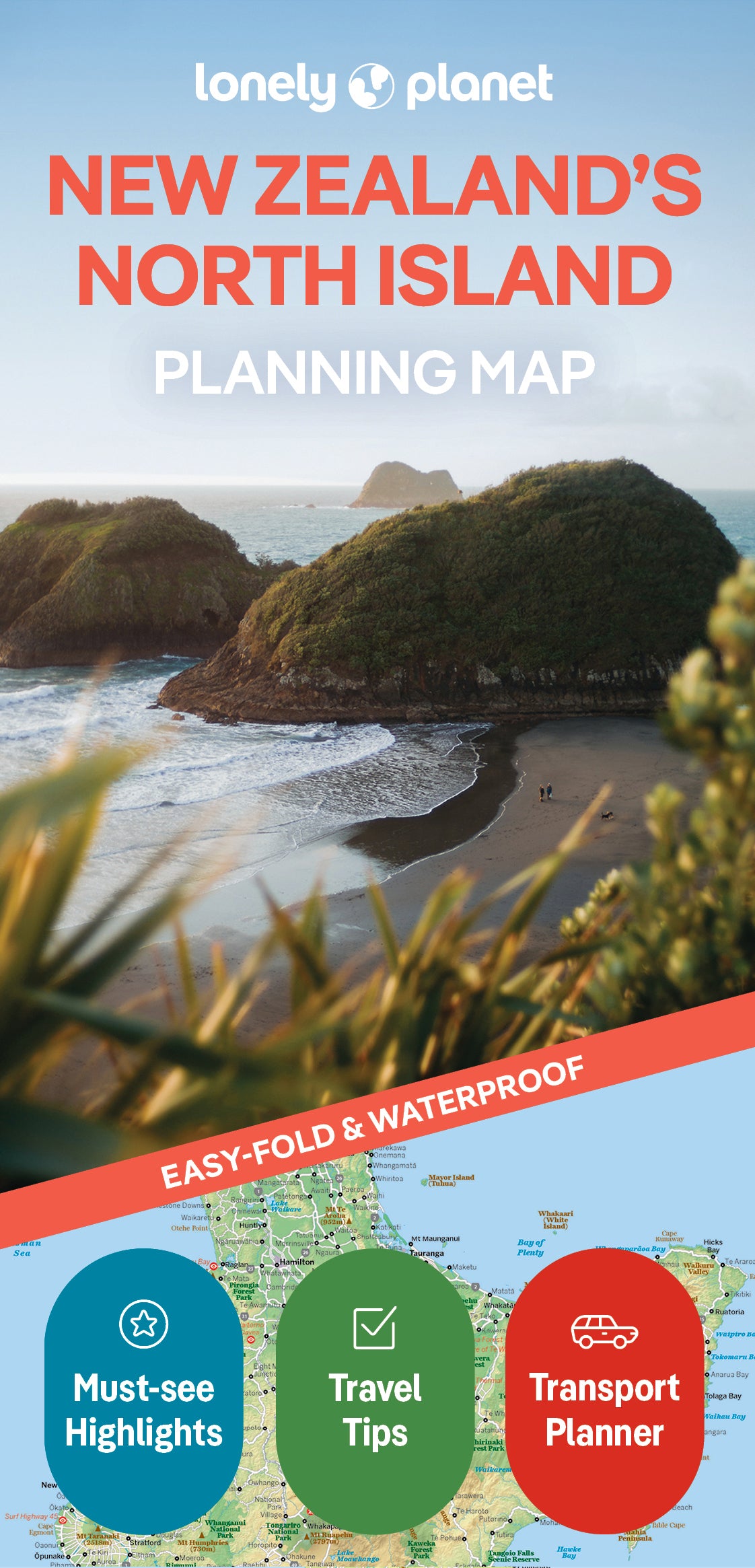
You are viewing a Planning Map
What is a Planning Map?
Whether you’re exploring a country or an entire continent, our durable and waterproof Planning maps come in an easy-fold design held inside a handy slipcase. Detailed and easy-to-read, they’re printed in full colour to make travelling and trip planning a breeze. Country-focused, these show a whole nation at a glance, as well as its top regional sights and themed highlights