 Skip to content


Zion & Bryce Canyon National Parks Planning Map
Overview
What's Inside
From Lonely Planet, the world's leading travel guide publisher
Durable and waterproof, with a handy slipcase and an easy-fold format, Lonely Planet's Zion & Bryce Canyon National Parks Planning Map helps you get around with ease.
Get more from your map and your trip with images and information about top attractions, itinerary suggestions, a transport guide, planning information, themed lists and practical travel tips.
- Durable and waterproof
- Easy-fold format and convenient size
- Handy slipcase
- Full color and easy to use
- Before-you-go info
- Beautiful imagery
- Tailored itineraries
- Can't-miss regional highlights
- Detailed town index
- Transport planner
- Themed lists
Covers Zion Canyon, Zion National Park, Angels Landing, The Narrows, Emerald Pools, Zion Canyon Scenic Drive, Bryce National Park, Navajo Loop Trail, Fairyland Loop Trail, Inspiration Point, Standalone Pois, Red Canyon, Kolob Terrace Rd, Zion National Park, Southwestern Desert, Zion National Park, Kolob Canyons, Zion National Park, East Zion, Zion National Park
Looking for more in-depth coverage? Check out Lonely Planet's Zion & Bryce Canyon National Parks, our most comprehensive guide to the region featuring its top sights and most authentic offbeat experiences.
About Lonely Planet: Lonely Planet is a leading travel media company and the world's number one travel guidebook brand, providing both inspiring and trustworthy information for every kind of traveler since 1973. Over the past four decades, we've printed over 145 million guidebooks and grown a dedicated, passionate global community of travelers. You'll also find our content online, and in mobile apps, video, 14 languages, nine international magazines, armchair and lifestyle books, ebooks, and more.
'Lonely Planet. It's on everyone's bookshelves, it's in every traveller's hands. It's on mobile phones. It's on the Internet. It's everywhere, and it's telling entire generations of people how to travel the world.' - Fairfax Media
'Lonely Planet guides are, quite simply, like no other.' - New York Times
Product Details
- Size3.74" × 7.76"
- Publication dateMarch 1st, 2019
- LanguageEnglish
- Edition1st
- Print length2 pages
- ISBN9781788686167
- AuthorsLonely Planet
Buy 2 & Get 10% off
When you add a second book from our expert recommendations, you’ll unlock 10% off your full order. Discount will be automatically applied. Exclusions apply.


You May Also Like
Enhance your travel research with these popular titles that are handpicked to pair well together!


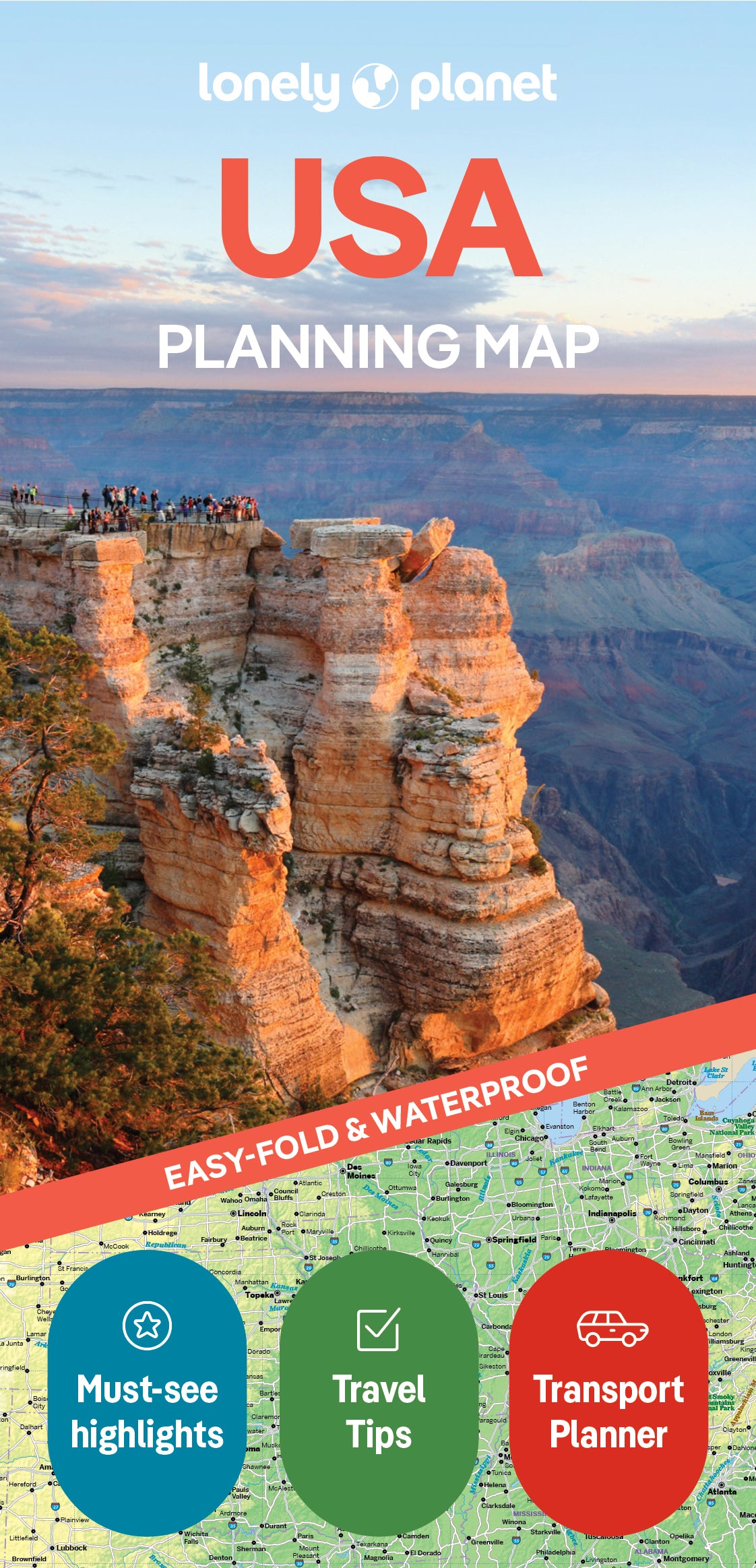
You are viewing a Planning Map
What is a Planning Map?
Whether you’re exploring a country or an entire continent, our durable and waterproof Planning maps come in an easy-fold design held inside a handy slipcase. Detailed and easy-to-read, they’re printed in full colour to make travelling and trip planning a breeze. Country-focused, these show a whole nation at a glance, as well as its top regional sights and themed highlights