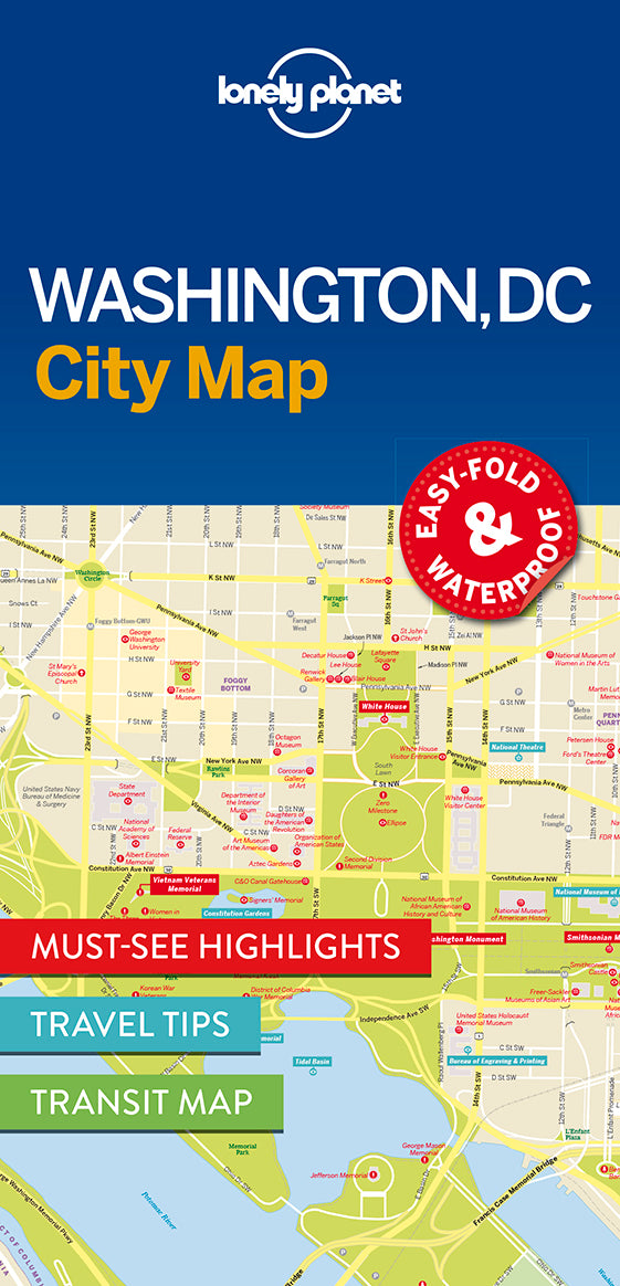
Washington DC City Map

Washington DC City Map

Sale price $7.99 USD
Make a Selection: Map
What's Inside
  • Durable and waterproof

  • Easy-fold format and convenient size

  • Handy slipcase

  • Full colour and easy-to-use

  • Extensive street and site index

  • Images and information about top city attractions

  • Handy transport maps

  • Practical travel tips and directory

  • Itinerary suggestions

Covers

Covers: Capitol Hill, Adams Morgan, Logan Circle, Columbia Heights, Kalorama, Woodley Park, Pleasant Plains, Meridian Hill, Le Droit Park, Georgetown, Upper Northeast DC, Dupont Circle, Bloomingdale, Foggy Bottom, Penn Quarter, National Mall, Rosslyn, Southwest DC, Arlington, Courthouse

Check out Lonely Planet Washington DC, our most comprehensive guidebook to the city, covering the top sights and most authentic off-beat experiences. Or check out Lonely Planet Pocket Washington DC, a handy-sized guide focused on the can’t-miss experiences for a quick trip.

Full Map Dimensions: 62.9 cm x 49.5 cm (24.5 in. x 19.5 in.)

Book Details

ISBN: 9781786577849

Edition: 1st

Publication Date: September 2016


Writers: Lonely Planet

2 pages, 2pp color, 1 maps | Dimensions: 95mm × 197mm

Next edition due: January 2025

Free shipping on all orders
30 day returns
Expert customer service