Skip to content


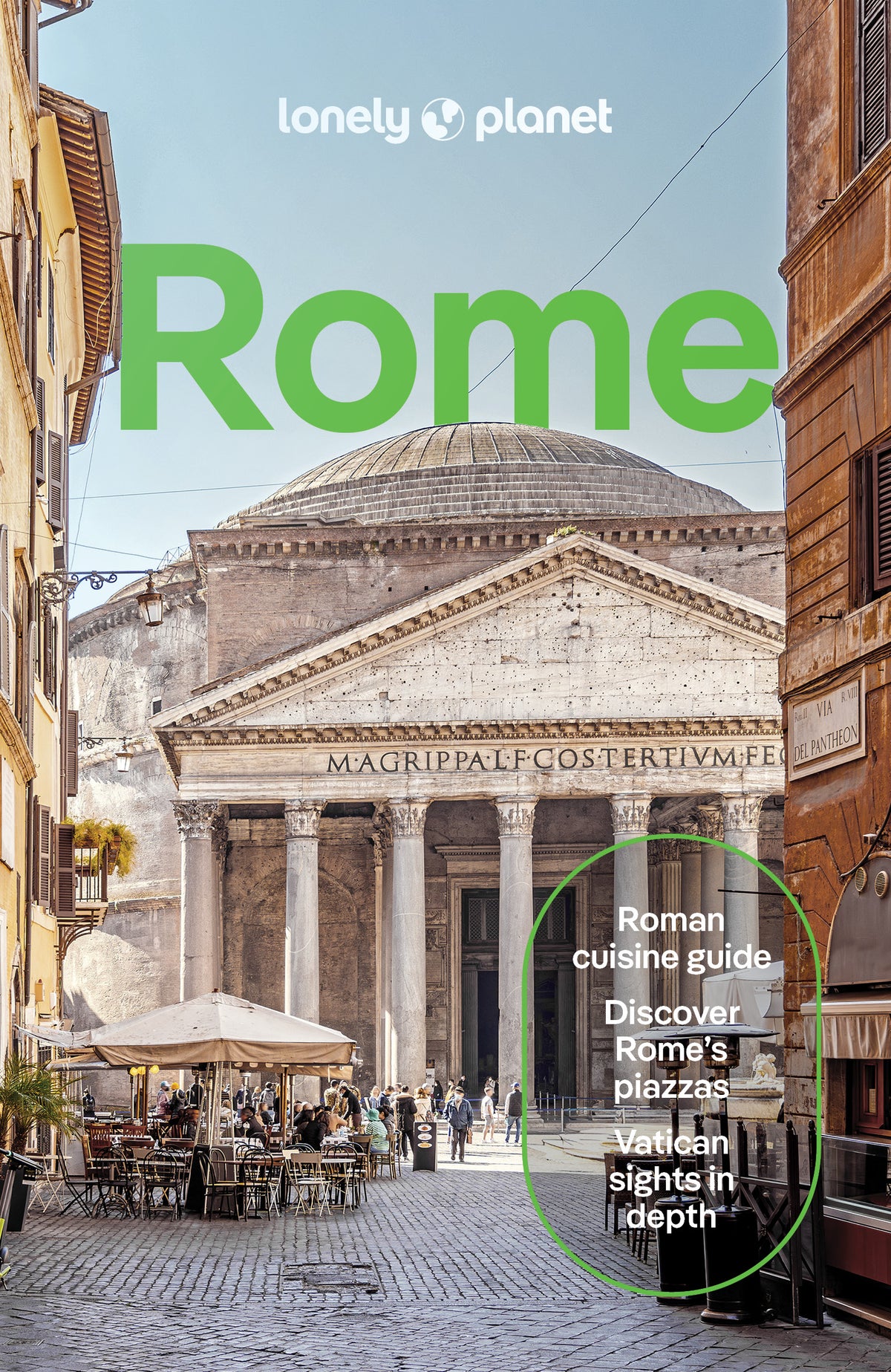
Rome City Map
Overview
What's Inside
Experience your dream trip with Lonely Planet's Rome City Map, the ultimate travel tool to help you plan and navigate your way around amazing local sights, landmarks and attractions.
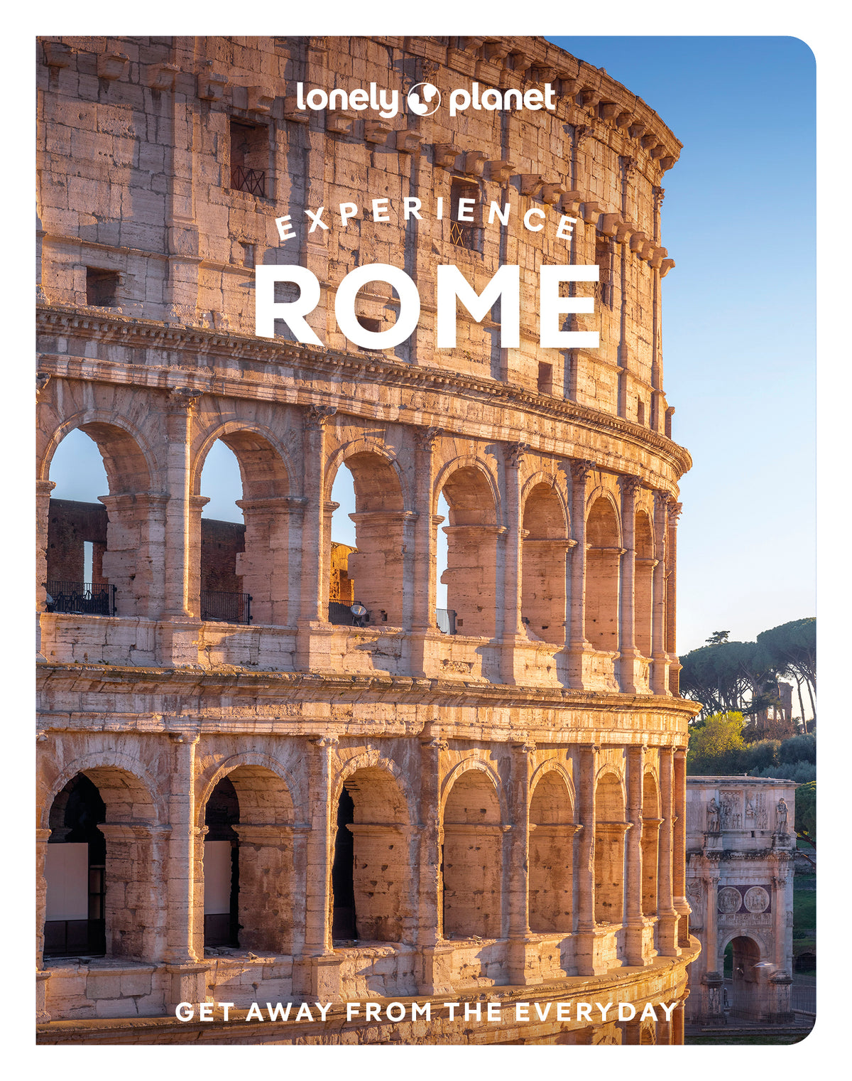
Toss a coin into Trevi Fountain, explore the world-famous Vatican Museums, see the Colosseum up close, and decide where you want to go next and what you want to see in each of the city's exciting neighbourhoods.
Inside Lonely Planet's Rome City Map:
- Full colour map in a durable easy-fold format
- Sheet size: 24.8” (630mm) wide x 19.5” (494mm) high, folded size: 3.74” (95mm) wide x 7.76” (197mm) high
- Waterproof and packaged in a handy slipcase
- Alphanumeric grid to find points of interest easily
- Public transport and tickets explained to help you get around
- Top picks of must-see highlights including the Pantheon, the Spanish Steps, and St Peter's Basilica
- Essential travel tips and nuts and bolts information including how to speak like a local, and travelling to and from the airport
- Beautiful photography and bonus zoomed-in map of Rome's Metro lines
- Covers: Borgo, Campitelli, Campo Marzio, Castro Pretorio, Colonna, Esquilino, Gianicolo, Monti, Parione, Pigna, Ponte, Prati, Regola, Salario, Sallustiano, San Giovanni, Sant'Angelo, Sant'Eustachio, Trastevere, Trevi, Tridente, Vatican City, Villa Borghese
Get ready for your next adventure with Lonely Planet's Rome City Map, the ultimate navigation tool to help you explore Rome's well-known attractions and best-kept secrets.
Product Details
- Size3.74" × 7.76"
- Publication dateDecember 1st, 2023
- LanguageEnglish
- Edition2nd
- Print length2 pages
- ISBN9781787016361
- AuthorsPlanet, Lonely
Buy 2 & Get 10% off
When you add a second book from our expert recommendations, you’ll unlock 10% off your full order. Discount will be automatically applied. Exclusions apply.


You May Also Like
Enhance your travel research with these popular titles that are handpicked to pair well together!