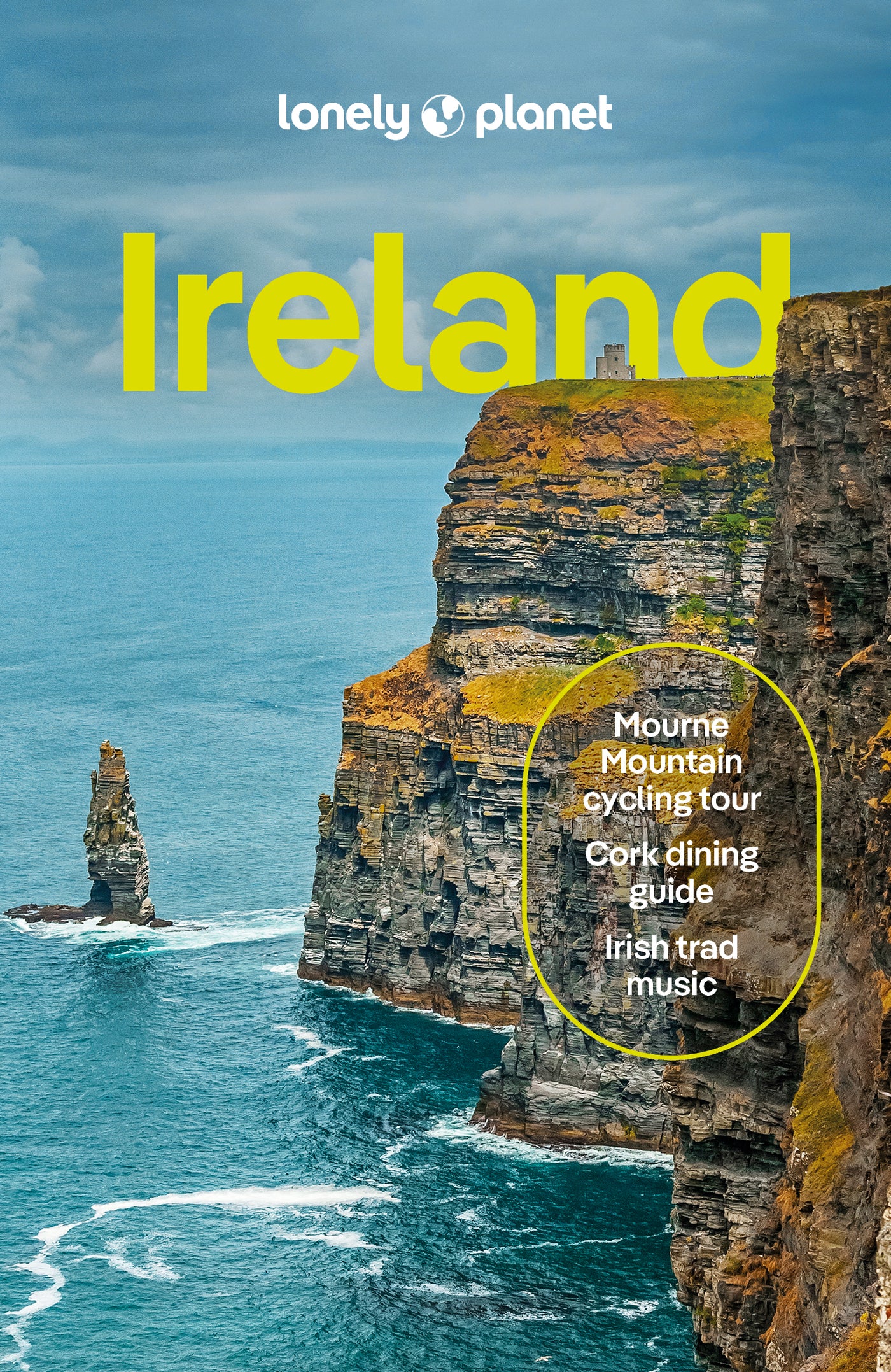


"Not a Book, a Travelling Companion."
Perhaps the term “travelling companion” has already been used for these Lonely Planet books, but it only really hit me yesterday, that I turn to their Ireland edition as I would a close and trusted friend. The content is so broad, clear, concise, and well organised that it already looks like I’ve owned it for a decade, not just 2 months. And, I’m travelling with it, despite the extra weight, it lives in my backpack because it has already deepened my travelling experience in Ireland profoundly. Thank you!
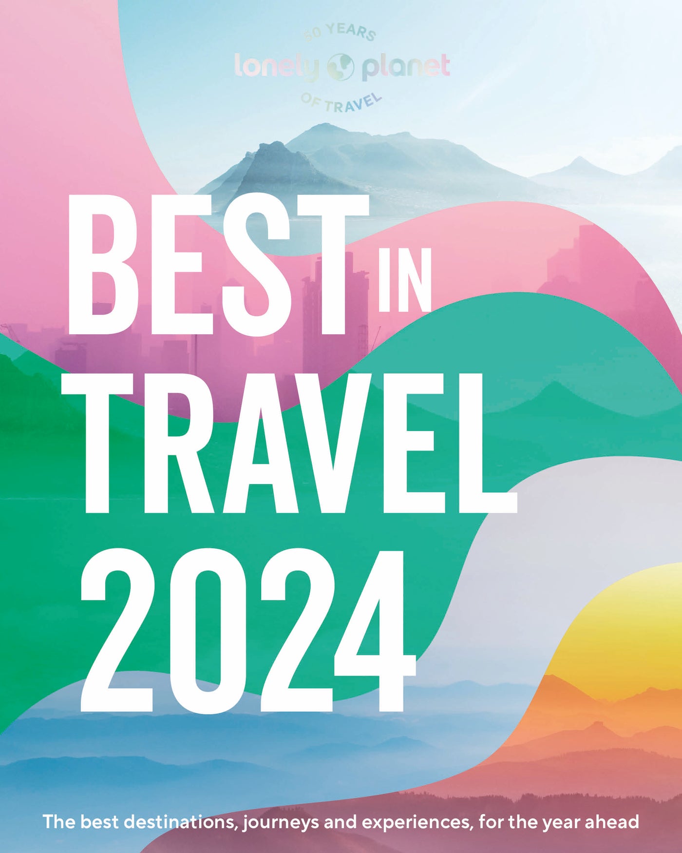
“New format - so much better for today’s world”
Excellent new format which explains what you can experience and achieve as opposed to telling you what to do at the lowest cost. I’ve been devoted to Lonely Planet for decades and this new approach to travel guides will definitely keep me both delighted and engaged. An iconic travel bible reborn.
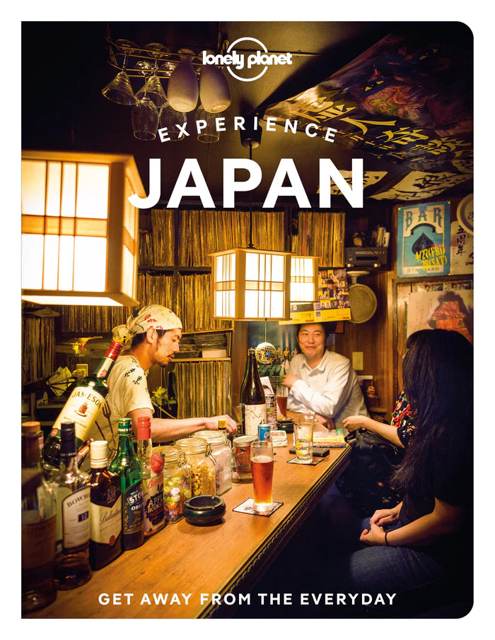
"Great for coffee tables or starting your 2024 planning!"
This book is an absolute stunner. The visuals are gorgeous and the information is rock-solid, as always! Love LP!
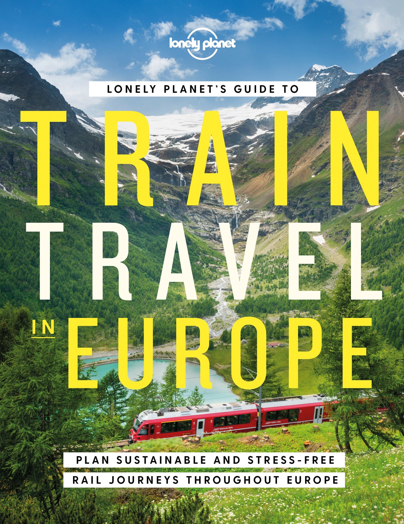
" Train travel in Europe "
A fabulous travel book with wonderful suggestions and full of amazing information. We have returned from one trip and our planning another next year.
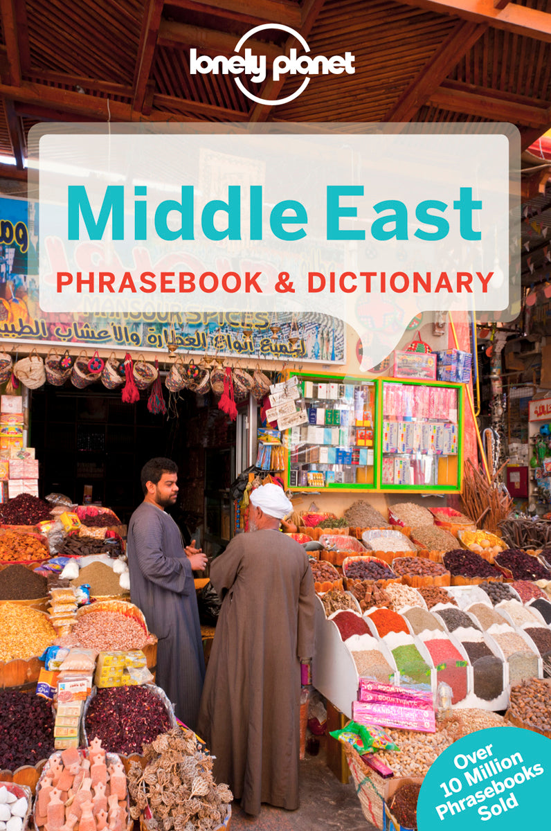
“Middle East Phrasebook and Dictionary”
The perfect language companion for my future trips to UAE and Egypt. I have more than 5 Lonelyplanet Phrasebooks and it’s impressive to see how much they cover and how accurate the phrases are for each situation. I love it!
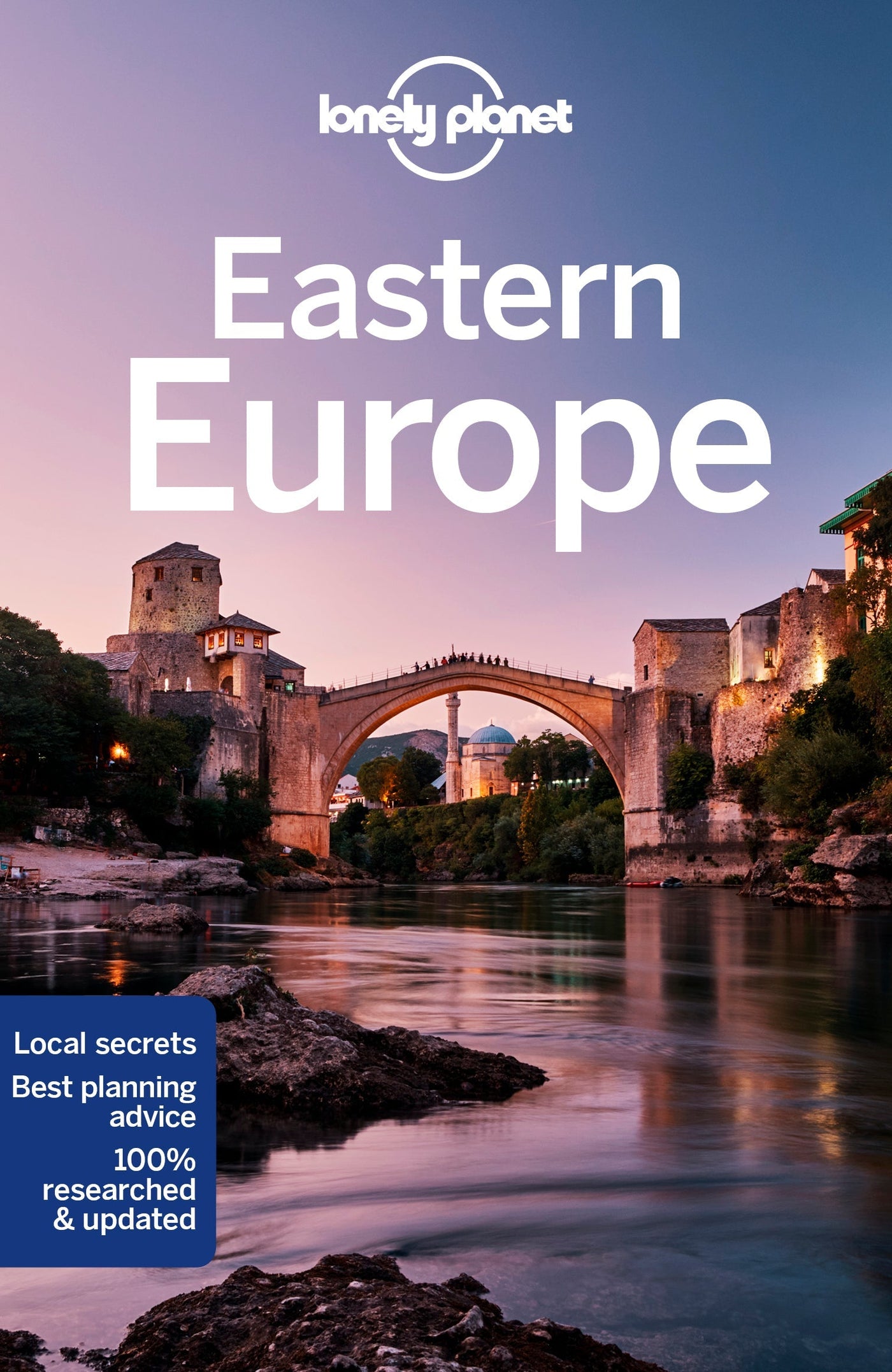
“Eastern Europe”
As I have come to expect from Lonely Planet, this guide was incredibly well-researched, providing great insight into many different countries and fantastic ideas of what to see and do, and the logistical info on how to do this easily. Fantastic guide - a must have for anyone considering a trip in the region