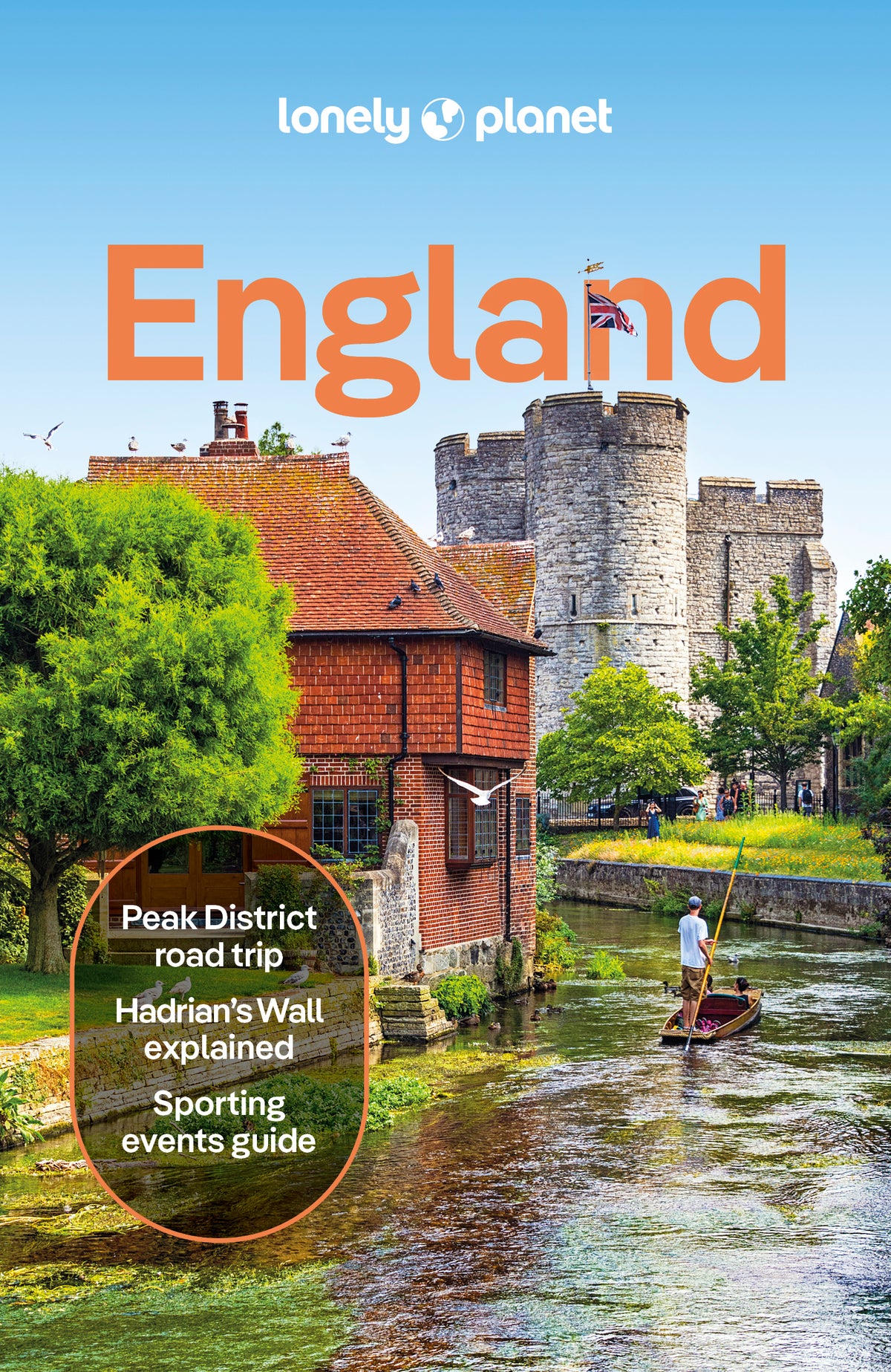
Chart your dream trip to Oxford & the Cotswolds with Lonely Planet's Oxford & the Cotswolds Planning Map, the ultimate travel tool to help you navigate your way around this amazing part of the world.
Explore the beautiful market town of Stratford-upon-Avon where William Shakespeare was born; visit Blenheim Palace, one of Britain's greatest stately homes; discover picture-perfect cottages and medieval inns in the hilltop village of Painswick; and decide where to go and what to see next on a route that works for you.
Inside Lonely Planet's Oxford & the Cotswolds Planning Map:
- Full colour map in a durable easy-fold format
- Waterproof and packaged in a handy slipcase
- Alphanumeric grid to find points of interest easily
- Transport planner with average travel times to help you get around
- Top picks of must-see highlights including the best heart-warming food, mellow pubs, amazing architecture, historic sites, museums and galleries, literary sites
- Essential travel tips and nuts and bolts information on big events, English slang, local transport
- Beautiful photography and detailed mapping
- Covers: Oxford, the Cotswolds, and more
Get ready for your next adventure with Lonely Planet's Oxford & the Cotswolds Planning Map, the ultimate navigation tool to inspire your upcoming trip and take you to the heart of Oxford & the Cotswolds - your way.


