Get more from your map and your trip with images and information about top city attractions, walking tour routes, transport maps, itinerary suggestions, extensive street and site index, and practical travel tips and directory. With this easy-to-use, full colour navigation tool in your back pocket, you can truly get to the heart of Seattle, so begin your journey now!
Durable and waterproof
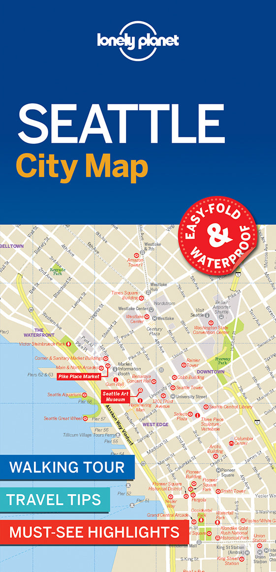
Easy-fold format and convenient size
Handy slipcase
Full colour and easy-to-use
Extensive street and site index
Images and information about top city attractions
Handy transport maps
Walking tour routes
Practical travel tips and directory
Itinerary suggestions
Covers
Covers Includes: Ballard, Beacon Hill, Belltown, Capitol Hill, Central District, Columbia, Denny Triangle, Downtown, Eastlake, First Hill, Fremont, Georgetown, Green Lake, High Point, Interbay, International District, Laurelhurst, Little Saigon, Lower Queen Anne, Madison Park, Madison Valley, Madrona, Magnolia, Montlake, Phinney Ridge, Pioneer Square, Portage Bay, Queen Anne, Rainier Valley, Ravenna, Sand Point, Seattle Center, Sodo, South Lake Union, The Waterfront, U District, Wallingford, West Edge, West Seattle
Check out Lonely Planet Seattle city guide, our most comprehensive guidebook to the city, covering the top sights and most authentic off-beat experiences. Or check out Lonely Planet Pocket Seattle, a handy-sized guide focused on the can’t-miss experiences for a quick trip.