Canada Planning Map
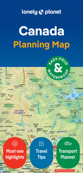
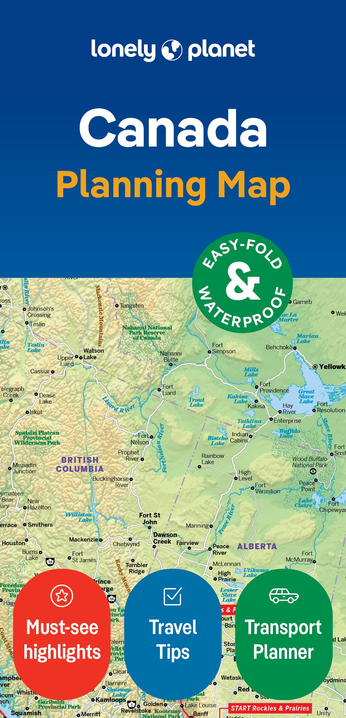
Durable and waterproof, with a handy slipcase and an easy-fold format, Lonely Planet Canada Planning Map is your conveniently-sized passport to traveling with ease. Get more from your map and your trip with images and information about top country attractions, itinerary suggestions, a transport guide, planning information, themed lists and practical travel tips. With this easy-to-use, full colour navigation tool in your back pocket, you can truly get to the heart of Canada, so begin your journey now!
- Durable and waterproof
- Easy-fold format and convenient size
- Handy slipcase
- Full colour and easy-to-use
- Before-you-go info
- Beautiful imagery
- Tailored itineraries
- Can’t-miss regional highlights
- Detailed town index
- Transport planner
- Themed lists
Covers Includes: Bay of Fundy, Viking Trail, Prince Edward Island, Cabot Trail, Montreal, Quebec City, Charlevoix, Toronto, Ottawa, Niagara Region, Manitoulin Island, Banff National Park, Jasper National Park, Churchill, Drumheller, Vancouver, Haida Gwaii, Dawson City, Nahanni National Park, Baffin Island, Victoria, Goldstream, Tofino, Calgary, Lake Louise
ISBN: 9781787014589
Edition: 1st
Publication Date: July 2018
Writers: Lonely Planet
2 pages, 2pp color, 1 maps | Dimensions: 95mm × 197mm
Next edition due: April 2024

You are viewing a Planning Map
What is a Planning Map?
Whether you’re exploring a country or an entire continent, our durable and waterproof Planning maps come in an easy-fold design held inside a handy slipcase. Detailed and easy-to-read, they’re printed in full colour to make travelling and trip planning a breeze. Country-focused, these show a whole nation at a glance, as well as its top regional sights and themed highlights