Thailand Planning Map
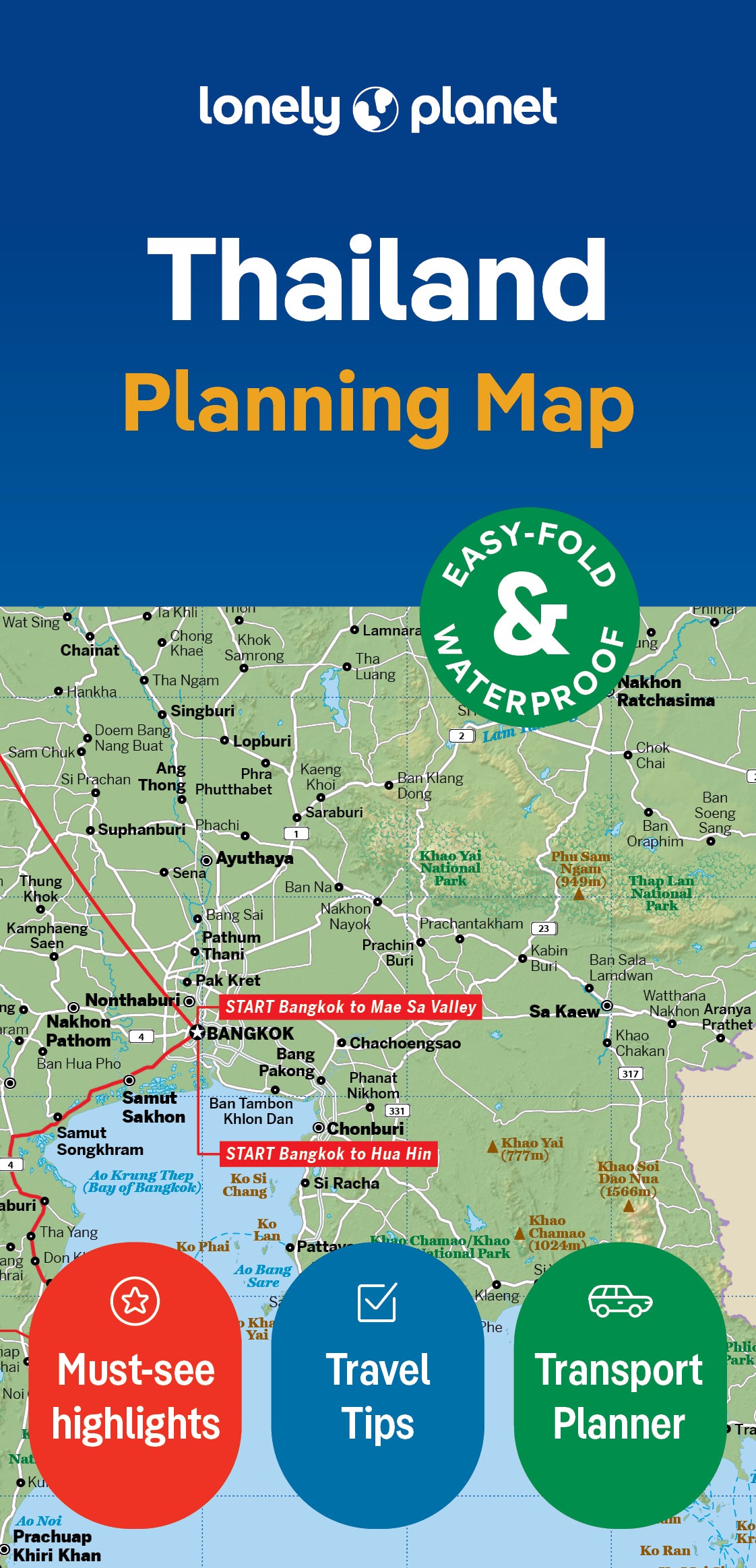
Durable and waterproof, with a handy slipcase and an easy-fold format, Lonely Planet Thailand Planning Map is your conveniently-sized passport to traveling with ease. Get more from your map and your trip with images and information about top country attractions, itinerary suggestions, a transport guide, planning information, themed lists and practical travel tips. With this easy-to-use, full colour navigation tool in your back pocket, you can truly get to the heart of Thailand, so begin your journey now!
- Durable and waterproof
- Easy-fold format and convenient size
- Handy slipcase
- Full colour and easy-to-use
- Before-you-go info
- Beautiful imagery
- Tailored itineraries
- Can’t-miss regional highlights
- Detailed town index
- Transport planner
- Themed lists
Covers Includes: Bangkok, Phetchaburi, Hua Hin, Ko Samui, Ko Pha-Ngan, Ao Khanom, Railay, Krabi, Surin Islands, Similan Islands, Phuket, Ko Lipe, Ko Kut, Chanthaburi, Ko Chang, Ayuthaya, Kanchanaburi, Nong Khai, Sukhothai, Chiang Mai, Chiang Rai Province, Pai
ISBN: 9781787014558
Edition: 1st
Publication Date: July 2018
Writers: Lonely Planet
2 pages, 2pp color, 1 maps | Dimensions: 95mm × 197mm
Next edition due: April 2024

You are viewing a Planning Map
What is a Planning Map?
Whether you’re exploring a country or an entire continent, our durable and waterproof Planning maps come in an easy-fold design held inside a handy slipcase. Detailed and easy-to-read, they’re printed in full colour to make travelling and trip planning a breeze. Country-focused, these show a whole nation at a glance, as well as its top regional sights and themed highlights